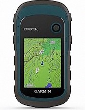
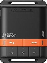
Garmin eTrex® Solar, GPS Handheld Navigator, Unlimited Battery Life, Water Resistant
The 2.2” high-contrast display is easy to read, even in bright sunlight. Get unlimit…
★★★★☆ 4.1
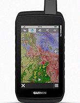
2.4" Color Display: Rugged and water-resistant design GPS handheld navigaton offering a bright 2.4" screen that is sunlight readable, side non-slip and physical buttons design provide more versatility in any conditions. 4 Satellites Support: Access to multiple global navigation satellite systems (GPS, Galileo, BeiDou and QZSS)for superior positional accuracy and precise knowledge of where you are, especially in challenging terrain or areas with weak signals, position accuracy<5ft. Waypoint Navigation: A6 handheld navigator can save current latitude and longitude coordinates, enter known coordinates, and navigate to the coordinates with straight line, delete coordinates,can be saved in total 1000 waypoints. Track Navigation: Record your tracks before hiking,it can guide back to your starting position when you lost your direction,and store waypoints along a track, whether you’re hiking, cycling or climbing, you are free to explore more with this handheld navigation in the palm of your hand. Extend Using Time: Powered by internal Li-ion rechargeable battery,3500mAh battery lasts up to 20 hours use in navigation mode.Equip with practical features like GPS compass, barometric altimeter, sunrise and sunset(No maps)
This page focuses on the details buyers usually scan first: price position, review signal, and whether fits the current shortlist.
A6 Handheld GPS for Hiking, Rugged Waterproof GPS Navigator with 20 Hrs of Battery Life, 2 Navigation Mode, 2.4" Color Display and GPS Compass, Moon Phase Information stays popular because trusted seller • money-back guarantee, making it easier to compare against similar items from PrisShop.
You can use this overview to compare value, positioning, and feedback before moving to the next product.
Recent buyer notes here make it easier to scan confidence, delivery, and fit signals before moving to another listing.
These comments add quick context around expectations, repeat purchase intent, and the type of use buyers describe most often.